⚡
Live lightning
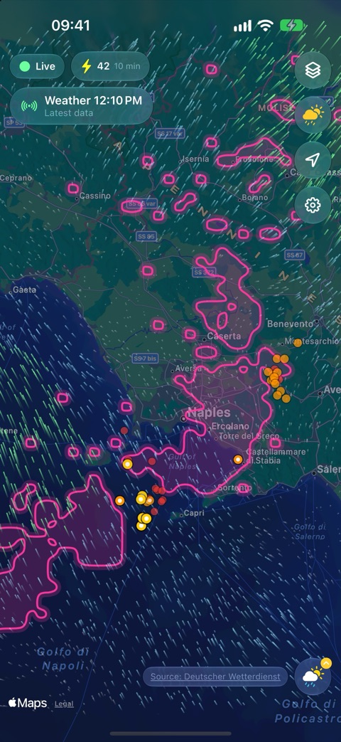
New strikes appear within seconds as pulsing dots that fade from yellow to red. Worldwide, from the Blitzortung.org network.
Live lightning from the worldwide Blitzortung.org community network – together with rain radar, thunderstorm forecast, wind and instability. Free, without ads and without tracking.
Download on the App Store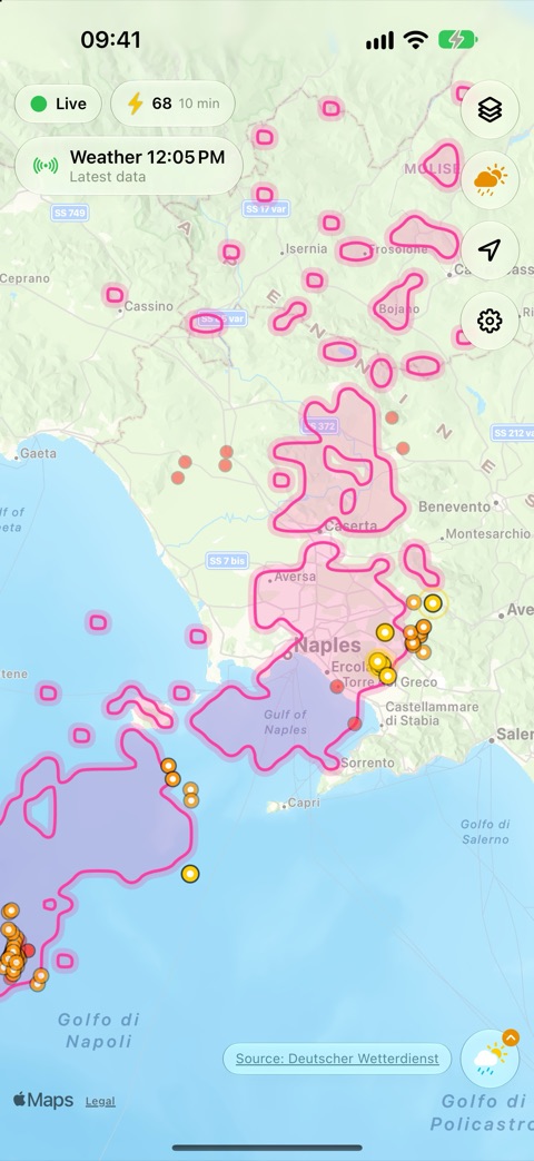
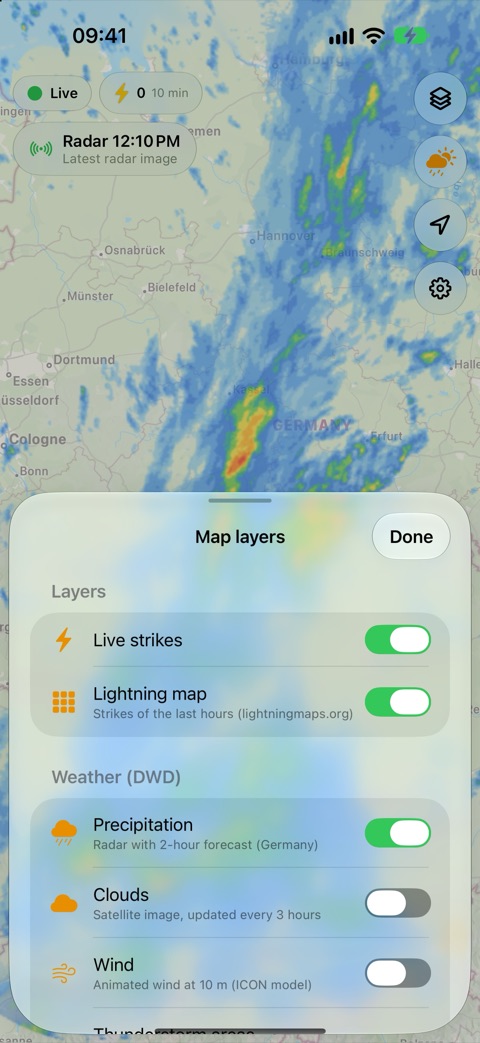
Every layer can be switched on and off, and animated along a timeline from two hours ago to two hours ahead. Forecasts are always marked as such – they are predictions, not measurements.
New strikes appear within seconds as pulsing dots that fade from yellow to red. Worldwide, from the Blitzortung.org network.
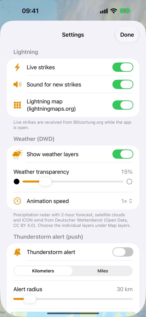
Set an alert area around your location or any point. You get a push notification when lightning strikes inside it.
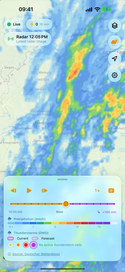
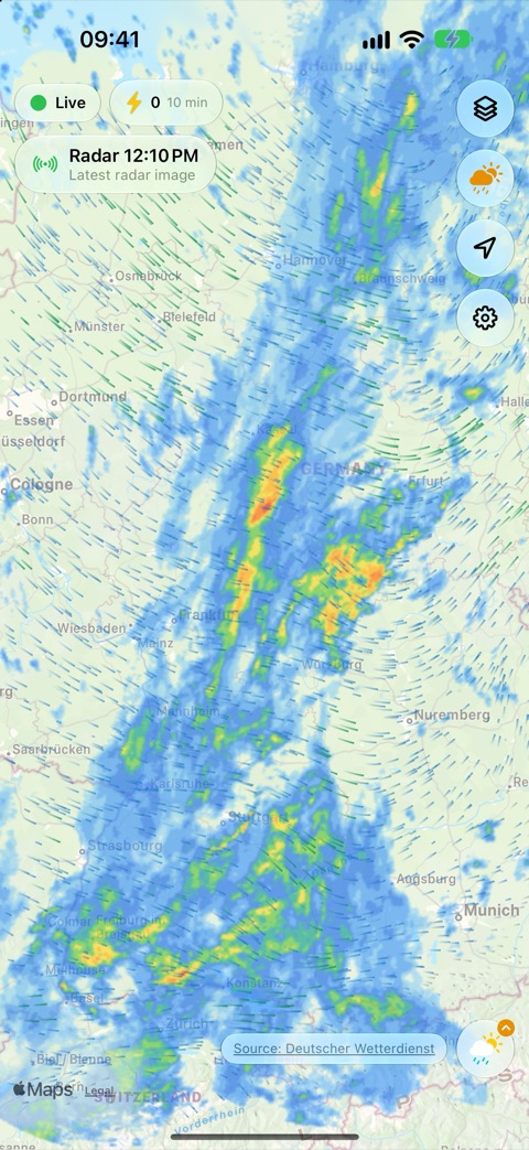
Precipitation radar of Deutscher Wetterdienst (DWD) for Germany and neighbouring regions: the last two hours and a two-hour forecast.
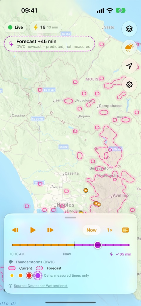
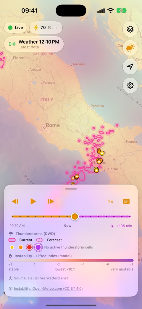
Where DWD detects thunderstorms now and where it expects them during the next hours – for all of Europe.
Tracked storm cells in Germany with path, direction, speed and warning level.
Flashes of the last 15 minutes per area (Germany) – shows the most active parts of a storm.
Lifted Index from the NOAA GFS weather model, worldwide: where the air is unstable enough for thunderstorms.
Animated wind from the ICON model and an infrared satellite image in which tall storm clouds stand out bright white.
Dark Mode, Dynamic Type, VoiceOver, smooth GPU map rendering – in 12 languages.
Real data from 8 October 2026: thunderstorms over southern Italy, rain over Germany.
The same explanations are in the app under Settings → Help.
In Settings, touch and hold the map (or use your location) to set the center of the alert area. The red circle shows the area in which a push notification is sent when lightning is detected. Adjust the size with the slider.
Notifications must be allowed for BlitzortungLive in the iOS Settings.
New strikes appear as pulsing dots. They shrink, fade and change from yellow to red within about one minute. The lightningmaps.org layer shows strikes of the recent past, colored by age.
“Live” means strikes are being received. During interruptions the app reconnects automatically.
Use ▶ to animate, or drag the timeline. The chip at the top always shows the displayed time. Forecast images are marked in purple with a dashed outline – they are predictions, not measurements.
When you look at a past radar image, the map shows the strikes the app received around that time. Strikes are only recorded while the app is open.
Both are only available for Germany and only show something when there are thunderstorms there. The legend tells you when there is currently no lightning or no active storm cell in Germany.
Pink areas show where DWD currently detects thunderstorms (solid outline) and where it expects them during the next hours (dashed outline). The Lifted Index shows how unstable the air is according to a weather model: the more negative, the higher the potential for thunderstorms. Stable areas remain transparent.
No. There are no ads, no analytics and no tracking. Your location is only used when you ask for it (center the map, set the alert area). Details are in the privacy policy (German).
BlitzortungLive is an additional service of the Blitzortung.org project. Many questions about the network and the detector hardware are already answered in the forum and the documentation – please have a look there first.
ios-app@blitzortung.org
Questions and feedback about the iOS app.
forum.blitzortung.org
Discussion board of the Blitzortung.org community.
www.blitzortung.org
The lightning detection network, documentation and detector hardware.
Live lightning data of the community network – for private use only.
Lightning map tiles of the recent past.
Radar, nowcast, thunderstorm areas and tracks, lightning density, ICON wind and satellite clouds (EUMETSAT data provided by DWD) – DWD Open Data, licence CC BY 4.0.
Lifted Index and CAPE from the Global Forecast System (public domain).
Base map © Apple and its data providers.
Important notice: The data of Blitzortung.org is intended for private use only. Blitzortung.org is not a commercial provider of lightning data. We accept no liability for completeness, timing, quality or accuracy of the information, nor for any consequences arising from the use of the data. Never rely on the app alone for your safety during thunderstorms.